7 Ways Planning Authorities Use Flood Risk Data (England & Wales)
How planning authorities in England and Wales use flood risk data: flood zones, the sequential test, flood risk assessments and planning conditions.
Planning authorities use flood risk data to screen sites by flood zone, apply the sequential and exception tests, require a flood risk assessment with applications, consult the Environment Agency or Natural Resources Wales and the Lead Local Flood Authority, set conditions on floor levels and drainage, and steer local plan allocations toward lower-risk land.
In this post
- Table of Contents
- How Flood Risk Data Enters the Planning Process
- Reading Environment Agency Flood Risk Maps
- How Flood Zones Shape Planning Permission
- What a Flood Risk Assessment Covers in a Planning Application
- Planning Conditions That Manage Flood Risk
- Where Planning Decisions Can Be Challenged
- Checking Flood Risk for a Property Before You Make an Offer
- Frequently Asked Questions
Quick Summary
Local planning authorities use flood risk data to decide whether land can be built on, drawing on the Environment Agency flood map, the local strategic flood risk assessment and historic flood records. Flood zones then shape planning permission, through the sequential test and the flood risk assessment that applicants must provide.
- The national flood map shows river and sea flood probability, with Zone 3 the highest risk.
- A site can be Zone 1 for rivers yet still sit in a surface water flood risk area.
- The sequential test steers new homes toward the lowest-risk land first.
- A flood risk assessment covers flood sources, floor levels, drainage and escape routes.
- A flood zone result is not a survey and does not show the condition of the building.
Table of Contents
- How Flood Risk Data Enters the Planning Process
- Reading Environment Agency Flood Risk Maps
- How Flood Zones Shape Planning Permission
- What a Flood Risk Assessment Covers in a Planning Application
- Planning Conditions That Manage Flood Risk
- Where Planning Decisions Can Be Challenged
- Checking Flood Risk for a Property Before You Make an Offer
- Frequently Asked Questions
7 Ways Planning Authorities Use Flood Risk Data
Last Updated: 27 October 2026
How Flood Risk Data Enters the Planning Process
Flood risk data reaches a planning authority long before a decision lands on a planner's desk. The Environment Agency publishes flood maps for England; Natural Resources Wales publishes the equivalent for Wales. JACKSON area reports include flood data. Most applicants never see the step where the data first comes in, and that step matters.
Planners draw on several sources at once. They check the national flood map, the local strategic flood risk assessment, and records of past flooding held by the council and the Lead Local Flood Authority. Each source answers a slightly different question.
- The national flood map shows river and sea flood probability.
- The local strategic flood risk assessment adds local detail and future climate allowances.
- Historic flood records show where water has actually reached.
Watch out: A site can look clear on one map and sit inside a higher-risk zone on another.
Reading Environment Agency Flood Risk Maps
The Environment Agency's flood map for planning sorts land into flood zones. Zone 1 has the lowest probability of flooding. Zones 2 and 3 carry a higher chance, and Zone 3 is the highest.
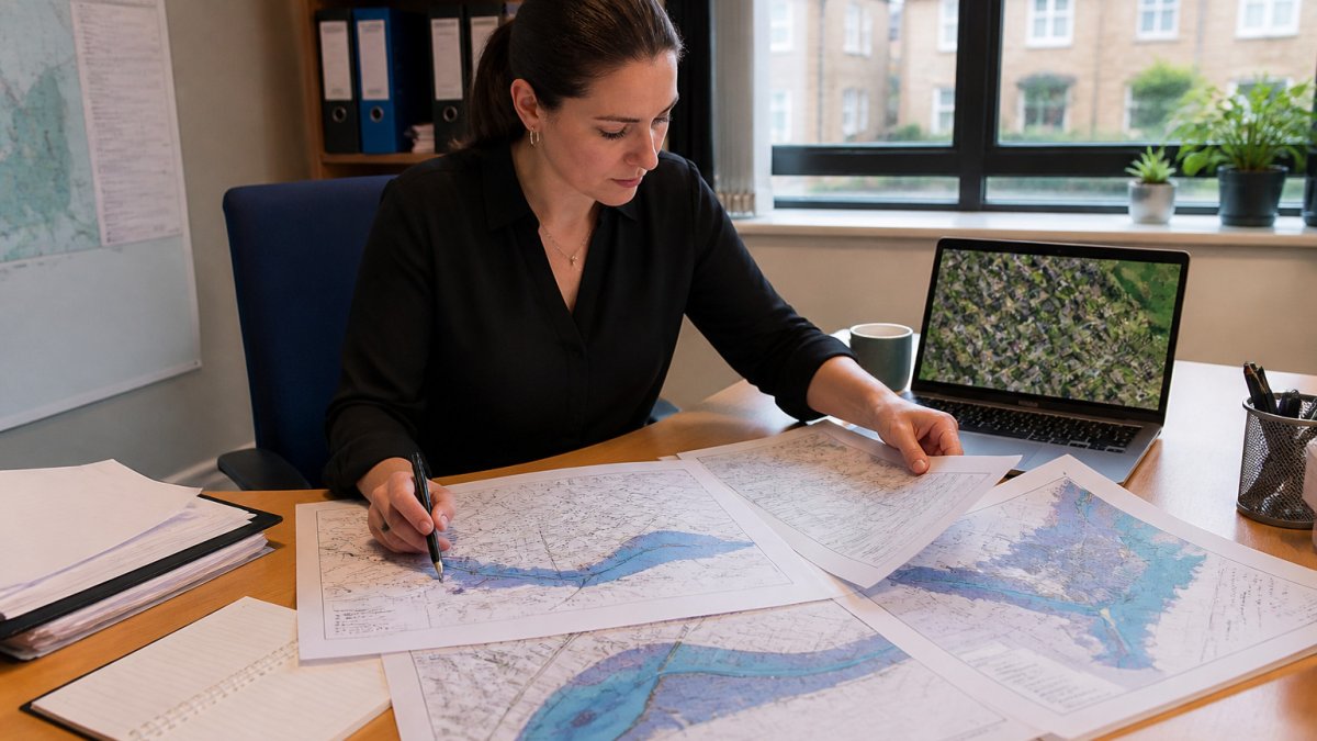
Planners look for the site boundary and read the zone it falls in. They also check whether the site sits in a surface water flood risk area, which the map shows separately. A site can be Zone 1 for rivers and still be exposed to surface water runoff.
Map scales can hide small channels and low spots.
The table below summarises the flood zones described in this section, so the key differences are easy to scan.
| Flood zone | Flood probability | Planning implication |
|---|---|---|
| Zone 1 | Lowest chance of flooding | Lowest flood risk for planning |
| Zone 2 | Higher chance than Zone 1 | Higher risk, more scrutiny applied |
| Zone 3 | Highest chance of flooding | Highest risk, most restrictive |
| Surface water area | Shown separately on the map | Can apply even in Zone 1 |
How Flood Zones Shape Planning Permission
Flood zones do more than label land. The National Planning Policy Framework applies a sequential test that steers new homes toward the lowest-risk land first. Only when no suitable lower-risk site exists does a development move into a higher zone.
Certain uses, such as new housing in Zone 3, can face an exception test.
They do not decide what a buyer should pay, and they do not confirm whether a specific building is safe. Our area reports show the flood data on the public record, so readers can see where a home sits before they dig into the planning file.
What a Flood Risk Assessment Covers in a Planning Application
A flood risk assessment, usually called an FRA, is a document about flood risk in relation to a development.
A typical FRA covers the following:
- The source and likelihood of flooding at the site
- Finished floor levels set above expected flood levels
- Surface water drainage and runoff rates
- Access and escape routes during a flood
- Effects on neighbouring land
Planning Conditions That Manage Flood Risk
Planning conditions are written requirements attached to a permission.
Drainage and surface water requirements
A new driveway or patio can add surface water runoff.
Where Planning Decisions Can Be Challenged
Planning decisions can be challenged.
Challenges usually take one of three routes: a judicial review in the High Court, a complaint through the council's own process, or an appeal to the Planning Inspectorate if the applicant is refused. Each route has time limits, so anyone considering a challenge should act quickly and take advice from a planning specialist.
The legal test for a decision is narrow. A planning decision is rarely overturned just because a neighbour disagrees with the flood evidence. Courts look for errors in how the council applied policy and weighed the evidence it had.
Checking Flood Risk for a Property Before You Make an Offer
Buyers can check flood risk before they make an offer. Start with the free Environment Agency flood map for planning, which shows the zone for any address in England (Natural Resources Wales publishes the equivalent for Wales). Then check the flood history for the area and ask the seller about past flooding.
You can also run a free JACKSON Viewing Check. It pulls together flood risk, crime, noise and planning data for a postcode, with each figure carrying its source and date. An Instant Report costs £9, and a person-checked Area Report starts from £19 and is read and signed by a named analyst.
A flood zone result is not a survey. It does not show the condition of the building, damp, or drainage on the plot. Pair any area report with a full survey, and leave title, boundaries and covenants to your conveyancer. For flood insurance, see our guide to flood insurance and the flood risk checks for Flood Re eligibility.
Environment Agency flood map for planning
National Planning Policy Framework flood risk guidance
police.uk crime data for an address
Frequently Asked Questions
How do local planning authorities assess flood risk?
Local planning authorities may consider flood risk information, including the Environment Agency's flood map for planning. The National Planning Policy Framework includes policy on directing development away from areas at highest risk where possible.
Does a flood risk map affect planning permission?
Flood zone information can be relevant to planning decisions. The National Planning Policy Framework includes a sequential test and, for some uses, an exception test.
Can planning permission be refused because of flood risk?
Yes. A council can refuse an application where the sequential or exception test is not met, or where the flood risk assessment does not show the development would be safe without increasing flood risk elsewhere.
How can I check flood risk for a property in England or Wales?
JACKSON area reports provide flood data alongside crime, noise and planning data for a postcode, with each figure carrying its source and date. An area report sits alongside a survey.

Short on time? Let us run the checks for you
Viewing this weekend and don't fancy an afternoon of maps? The free Foolproof Viewing Check pulls the headline tiles for any address you're looking at — no card, no sign-up.
Want the whole area read by hand and written up, checked and signed off by a real person before it reaches you? That's the Jackson pre-purchase area report. Software does the legwork so it's quick and affordable; a person makes the call so you can trust it. Reports start from £19.
Frequently asked questions
How do local planning authorities assess flood risk?
Local planning authorities may consider flood risk information, including the Environment Agency's flood map for planning. The National Planning Policy Framework includes policy on directing development away from areas at highest risk where possible.
Does a flood risk map affect planning permission?
Flood zone information can be relevant to planning decisions. The National Planning Policy Framework includes a sequential test and, for some uses, an exception test.
Can planning permission be refused because of flood risk?
Yes. A council can refuse an application where the sequential or exception test is not met, or where the flood risk assessment does not show the development would be safe without increasing flood risk elsewhere.
How can I check flood risk for a property in England or Wales?
JACKSON area reports provide flood data alongside crime, noise and planning data for a postcode, with each figure carrying its source and date. An area report sits alongside a survey.