Is It Safe to Live Near a Busy High Street?
Crime, noise, traffic and flood risk decide how safe a busy high street is. How to check each with official data before you buy (England & Wales).
Often yes, but it depends on the specific street. Check recorded crime on police.uk, the modelled road-noise maps, Environment Agency flood risk and the council's planning portal, then visit at different times of day. High streets tend to see more theft and late-night noise than residential roads, so weigh that against your own tolerance.
In this post
- Table of Contents
- What Makes a High Street Busy, and Does It Matter?
- How to Check Crime Rates by Postcode
- How to Check Noise Levels Near a Property
- Check Flood Risk for a Property
- Check Planning Applications Near a Property
- Traffic and Road Safety: What You Should Verify
- What to Look for During a Property Visit
- Frequently Asked Questions
Table of Contents
- What Makes a High Street Busy, and Does It Matter?
- How to Check Crime Rates by Postcode
- How to Check Noise Levels Near a Property
- Check Flood Risk for a Property
- Check Planning Applications Near a Property
- Traffic and Road Safety: What You Should Verify
- What to Look for During a Property Visit
- Frequently Asked Questions
Last updated: 9 October 2026
What Makes a High Street Busy, and Does It Matter?
A busy high street brings noise, traffic, and footfall. Whether it is safe to live near a busy high street depends on what you're measuring. Crime, traffic accidents, air quality, and noise all matter. They're not the same thing, and they don't all point in the same direction.
Some people thrive in busy areas. Others find them stressful. The data helps you decide which category you're in, and whether the specific postcode suits your needs.
This guide walks you through the key safety factors to check before committing to a property near a busy high street.
How to Check Crime Rates by Postcode
Crime rates are the first thing most people check. The good news: the data is free and up to date.
Visit police.uk crime map. Enter your postcode. You'll see reported crimes in your area for the last month, broken down by type: theft, antisocial behaviour, violence, burglary, and more.
Compare the numbers to the national average. Police.uk shows you how your postcode ranks. A busy high street may have more shoplifting and street robbery than a quiet residential road, that's expected. What matters is whether the rate is typical for a high street area or unusually high.
What to look for:
- Total crimes per 1,000 residents in your postcode
- Crime types (violent crime vs. theft matter differently to different people)
- Trend over time (is it rising, falling, or stable?)
- How it compares to nearby postcodes
Police.uk updates monthly. Check it again closer to your moving date, crime patterns can shift.
How to Check Noise Levels Near a Property
Noise is the hidden cost of living on a busy high street. It's not always obvious during a daytime viewing.
Defra publishes strategic noise maps for major roads and railways in England (Natural Resources Wales holds the Welsh maps). Visit the Defra noise mapping tool. Enter your postcode and select "noise mapping." You'll see noise levels in decibels (dB) for road traffic, rail, and aircraft.
Noise levels are measured in three ways: day (7am-11pm), evening (7pm-11pm), and night (11pm-7am). A busy high street road typically produces 65-75 dB during the day. That's comparable to a vacuum cleaner or busy traffic.
What the numbers mean:
- 50 dB: quiet office, light traffic
- 65 dB: busy traffic, high street
- 75 dB: heavy traffic, loud alarm
- 85 dB and above: risk of hearing damage
Check the map for your specific address. Noise levels drop significantly 50 metres back from the road. A flat above a shop will experience more noise than a house one street over.
The Environment Agency maps are based on modelled data, not live measurements. Visit the property at different times, early morning, evening, and weekend, to hear the actual noise yourself.
Check Flood Risk for a Property
Busy high streets in city centres often sit on flat ground near rivers or in areas with poor drainage. Flood risk is a serious concern.
The Environment Agency (Natural Resources Wales in Wales) provides a free flood risk checker. Enter your postcode. The tool shows flood risk from rivers, surface water (heavy rain), and reservoirs.
Flood risk is rated as very low, low, medium, or high. "Very low risk" means less than 1 in 1,000 chance of flooding in any year; "low" is between 1 in 1,000 and 1 in 100. "High risk" means 1 in 30 or greater.
If your property is in a flood risk area, ask the seller for evidence of past flooding. Check local council records and news archives. Some properties flood repeatedly; others never have. Historical data matters more than the risk rating alone.
Actions if flood risk is present:
- Request a flood report from the seller
- Check if the property has flood defences (barriers, raised electrics, waterproof doors)
- Ask about insurance availability and cost
- Review the local council's flood management plans
A property in a flood zone is not automatically a bad buy. But you need to understand the risk and the cost of managing it.
Check Planning Applications Near a Property
Planning applications reveal what's coming to your neighbourhood. A new nightclub, office block, or retail development can change the character of a high street.
Visit your local council's planning portal. Search for your postcode or address. You'll see applications submitted, approved, and completed in the area.
Look for:
- New commercial development (offices, restaurants, bars)
- Change of use (a shop becoming a nightclub changes noise and activity patterns)
- Demolition or major renovation
- Traffic or transport changes
Planning decisions are public record. If an application was refused, you'll see why. If it was approved, you can see the conditions imposed (noise limits, opening hours, parking restrictions).
A busy high street with active planning applications may become busier. That's not necessarily bad, it could mean investment and improvement. But it's worth knowing.
Traffic and Road Safety: What You Should Verify
Traffic volume on a busy high street can be substantial. Heavy goods vehicles, buses, and delivery lorries create vibration and noise. They also increase the risk of accidents.
Check traffic data through your local council's transport team. Many councils publish annual traffic counts for major roads. You can request this data directly.
Look at accident records. Visit Department for Transport crash data. Search for your postcode or road name. The database shows reported accidents, injuries, and fatalities by location.
A busy high street with a history of serious accidents is a red flag. So is a road where pedestrian or cyclist injuries are common.
What to check:
- Annual traffic volume (vehicles per day)
- Percentage of heavy goods vehicles
- Accident history (especially involving pedestrians or cyclists)
- Speed limits and enforcement
- Parking restrictions and turning movements
Some high streets have been redesigned to slow traffic and improve safety. Others remain dangerous. The data helps you see which.
What to Look for During a Property Visit
Data tells you the broad picture. Your own visit tells you how it feels to live there.
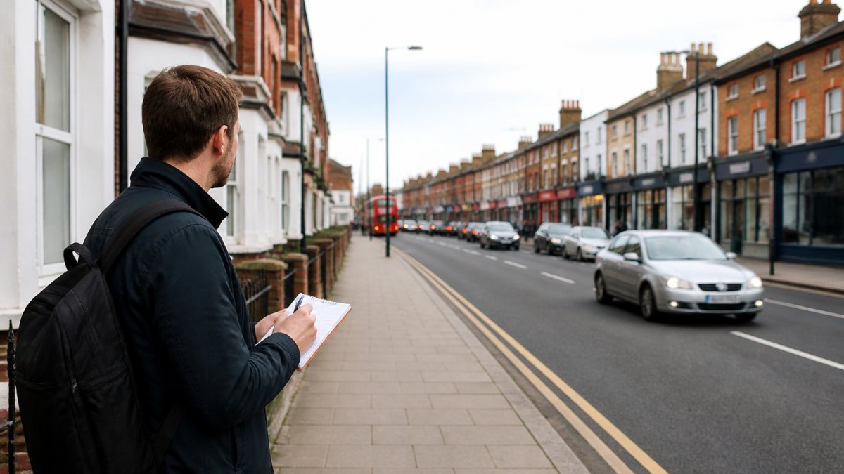
Spend time outside the property at different times:
- Early morning (6-8am): is it quiet or already busy?
- Mid-afternoon (2-4pm): typical activity level
- Evening (6-8pm): shift change, commuter traffic, restaurant activity
- Late night (10pm-midnight): bar and restaurant closing times, street noise
Listen for:
- Constant traffic noise or occasional peaks
- Sirens, alarms, or construction
- Shouting, music, or groups of people
- Delivery lorries and refuse collection
Observe:
- Foot traffic density (is it crowded?)
- Parking availability and turnover
- Street cleanliness and maintenance
- Visible antisocial behaviour or litter
- Lighting at night (is it well-lit and safe-feeling?)
A property that feels fine at 2pm on a Tuesday may feel very different at 10pm on a Saturday. Visit more than once and at different times of day.
Talk to existing residents if you can. Ask them directly: what surprised you about living here? What do you wish you'd known? Most people are honest about the downsides.
Whether it is safe to live near a busy high street is not a simple question. It depends on crime rates, noise, flood risk, traffic, and your own tolerance for activity and disturbance. Use the official data sources to build a clear picture. Then visit in person and trust your instincts. This guide is information, not advice; for anything about the building itself, get a survey.
JACKSON provides analyst-verified area reports that bring together crime, noise, flood, and planning data for any postcode in England and Wales. A report gives you the area context before you make an offer, so you go in knowing what the area is like. It is not a survey and does not check the building itself. Start with our free area check to see what the data reveals about your neighbourhood.
Frequently Asked Questions
Is it safe to live near a busy high street?
Safety depends on specific factors: crime rates in that postcode, noise exposure, flood risk, and traffic patterns. A busy high street isn't inherently unsafe, but you must verify each of these using official data. Check police.uk for crime statistics, the Environment Agency for flood risk, and local planning portals for road schemes. The answer varies significantly by location and your own tolerance for noise and activity.
How do I check noise levels near a property?
Visit the property at different times, rush hour, evening, and a weekend, to experience noise firsthand. Check the local authority's planning portal for any noise complaints or enforcement action. Search for Noise Action Plans on your local council website; many publish these under environmental health. Road noise maps are available from some local authorities. An area report can flag whether the property sits on a classified road with published noise data.
What's the easiest way to check crime rates by postcode?
Police.uk publishes recorded crime data by postcode. Search your postcode to see crime types and trends over recent months. Compare the figures to the national average to understand context. Crime data is updated monthly and shows street-level detail. Be aware that crime statistics reflect reported incidents, not perceived safety, so combine this data with a daytime and evening visit to the area.
How do I find out if a property has flood risk?
The Environment Agency's online flood risk checker shows whether a property is in a flood zone. Enter the postcode to see flood risk from rivers and surface water. Check whether the property has flooded before by searching local news and asking the seller's conveyancer. Your local authority may hold records of past flooding incidents. An area report will flag flood risk and any recorded flood events in the neighbourhood.
Short on time? Let us run the checks for you
Viewing this weekend and don't fancy an afternoon of maps? The free Foolproof Viewing Check pulls the headline tiles for any address you're looking at — no card, no sign-up.
Want the whole area read by hand and written up, checked and signed off by a real person before it reaches you? That's the Jackson pre-purchase area report. Software does the legwork so it's quick and affordable; a person makes the call so you can trust it. Reports start from £19.
Frequently asked questions
Is it safe to live near a busy high street?
Safety depends on specific factors: crime rates in that postcode, noise exposure, flood risk, and traffic patterns. A busy high street isn't inherently unsafe, but you must verify each of these using official data. Check police.uk for crime statistics, the Environment Agency for flood risk, and local planning portals for road schemes. The answer varies significantly by location and your own tolerance for noise and activity.
How do I check noise levels near a property?
Visit the property at different times—rush hour, evening, and a weekend—to experience noise firsthand. Check the local authority's planning portal for any noise complaints or enforcement action. Search for Noise Action Plans on your local council website; many publish these under environmental health. Road noise maps are available from some local authorities. An area report can flag whether the property sits on a classified road with published noise data.
What's the easiest way to check crime rates by postcode?
Police.uk publishes recorded crime data by postcode. Search your postcode to see crime types and trends over recent months. Compare the figures to the national average to understand context. Crime data is updated monthly and shows street-level detail. Be aware that crime statistics reflect reported incidents, not perceived safety, so combine this data with a daytime and evening visit to the area.
How do I find out if a property has flood risk?
The Environment Agency's online flood risk checker shows whether a property is in a flood zone. Enter the postcode to see flood risk from rivers and surface water. Check whether the property has flooded before by searching local news and asking the seller's conveyancer. Your local authority may hold records of past flooding incidents. An area report will flag flood risk and any recorded flood events in the neighbourhood.