Is My Property in a Flood Zone? A Step-by-Step Check (England & Wales)
How to check whether a property in England or Wales sits in a flood zone: official flood maps, surface water risk and recorded floods, step by step.
Enter the postcode into the Environment Agency's Flood Map for Planning (England) or Natural Resources Wales' flood map to see whether the property sits in Flood Zone 1, 2 or 3 for river and sea flooding. Then check the separate surface water map and any recorded flood records, because Zone 1 means low probability, not zero risk.
In this post
- Table of Contents
- What Does Flood Zone Mean?
- Check Flood Risk by Postcode Using Official Maps
- Understanding the Surface Water Flood Risk Map
- Check Historical Flood Records for Your Area
- What Information You Need Before You Start
- Beyond the Maps: What Else to Check
- Common Mistakes When Checking Flood Risk
- Frequently Asked Questions
Table of Contents
- What Does Flood Zone Mean?
- Check Flood Risk by Postcode Using Official Maps
- Understanding the Surface Water Flood Risk Map
- Check Historical Flood Records for Your Area
- What Information You Need Before You Start
- Beyond the Maps: What Else to Check
- Common Mistakes When Checking Flood Risk
- Frequently Asked Questions
Last Updated: 8 October 2026
What Does Flood Zone Mean?
A flood zone is an area classified by the Environment Agency based on the likelihood of flooding from rivers or the sea. The classification system divides land into zones that range from very low risk to high risk. Understanding whether your property is in a flood zone helps you assess one of the key environmental risks before you commit to a purchase.
The Environment Agency publishes official flood maps that show these zones across England; Natural Resources Wales publishes the equivalent map for Wales. This guide covers England and Wales only. Each zone carries different implications for insurance, mortgage availability, and long-term property resilience. The zones exist because some areas are naturally more vulnerable to flooding than others, proximity to rivers, historical flood patterns, and drainage capacity all play a role.
This matters because flood risk is one of the factors mortgage lenders consider when deciding whether to lend on a property. It also affects buildings insurance premiums and the type of cover available. For buyers and renters, knowing your flood zone helps you make an informed decision about the property's suitability for your needs.
Check Flood Risk by Postcode Using Official Maps
The most straightforward way to check whether your property is in a flood zone is to use the Environment Agency's online flood map. This tool is free and publicly available to anyone.
The Environment Agency Flood Map for Planning
Visit the Environment Agency's flood map for planning. Enter your postcode or property address and the map will display the flood zones in your area. The tool shows both river and sea flood risk.
The map colour-codes different flood zones so you can see at a glance which category your property falls into. You can zoom in to street level for precision. The data comes from the Environment Agency's official records, and it is widely used by mortgage lenders and insurers alongside their own flood models.
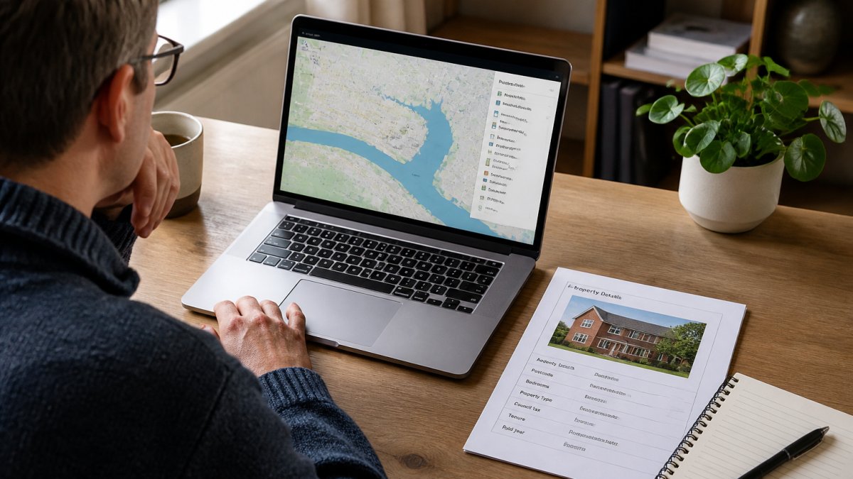
Most properties sit in Flood Zone 1, which carries very low risk. If your property falls into Zone 2 or Zone 3, that doesn't mean you shouldn't buy it, but you should understand what that classification means for your specific situation.
What the Flood Zones Mean
Flood Zone 1 means low probability of flooding. The Environment Agency estimates less than a 0.1% annual chance of river or sea flooding. Most properties in England and Wales fall into this category.
Flood Zone 2 indicates a medium probability. Annual chance of flooding is between 0.1% and 1% from rivers, or 0.1% to 0.5% from the sea. Properties here may need flood resilience measures, and some insurers apply higher premiums.
Flood Zone 3a carries high probability. Annual risk is greater than 1% from rivers or greater than 0.5% from the sea. Lenders often require additional safeguards, and insurance can be harder to obtain at standard rates.
Flood Zone 3b is the functional floodplain, land where water naturally flows during extreme floods. Very few properties sit here, and lending and insurance become significantly more difficult.
The zones reflect statistical likelihood, not certainty. A property in Zone 1 could still flood in an extreme event. Conversely, a property in Zone 3 might never experience a flood during your ownership. The zones are a risk indicator, not a prediction.
Understanding the Surface Water Flood Risk Map
River and sea flooding are not the only flood risks. Surface water flooding, sometimes called pluvial flooding, happens when heavy rainfall overwhelms drainage systems and water pools on the surface.
The Environment Agency provides a separate surface water flood risk map that shows areas vulnerable to surface water flooding. This map uses different categories:
- High risk: greater than 3.3% annual probability
- Medium risk: between 1% and 3.3% annual probability
- Low risk: between 0.1% and 1% annual probability
A property might be in Flood Zone 1 for river flooding but sit in a medium or high surface water risk area. Both maps are worth checking. Surface water flooding can cause significant damage even in low-risk river zones, particularly in urban areas where drainage infrastructure is under pressure.
Check Historical Flood Records for Your Area
Official flood maps show statistical risk, but historical records show what has actually happened. The Environment Agency publishes records of recorded floods, events where water has caused damage or disruption.
Search the recorded floods database by postcode or location name. If your property or nearby properties have flooded before, this record will show it. The database includes information about when the flood occurred and which areas were affected.
Historical flooding doesn't guarantee future flooding, but it does indicate that your area has experienced real flood events. Properties near rivers or in low-lying areas with a history of flooding carry a higher practical risk than zones alone might suggest.
Local news archives and council records can also provide context. If you're looking at a property in an area with recent flood history, local residents and council planning departments often have detailed knowledge of what happened and what measures were taken afterwards.
What Information You Need Before You Start
To check if your property is in a flood zone, you need the postcode or full address. Have this information ready before you visit the Environment Agency maps.
If you're looking at multiple properties, gathering postcodes in advance speeds up the process. For properties where you only have a street name, the postcode finder on Royal Mail's website will help you locate the correct code.
You may also want to note down:
- The full address and postcode
- Whether the property is near a river, stream, or coastal area
- The property's elevation relative to surrounding land
- Any local knowledge about past flooding or drainage issues
Having this context helps you interpret what the flood maps show. A property in Zone 2 on a hillside faces different practical risk than one in Zone 2 in a valley.
Beyond the Maps: What Else to Check
The flood maps show statistical risk, but they don't tell the whole story. Several other factors influence flood risk for a specific property.
Local drainage and flood defences matter significantly. Some areas have flood walls, barriers, or improved drainage systems that reduce risk below what the zone classification alone suggests. Others lack adequate drainage, making them more vulnerable. Local councils and the Environment Agency can provide information about flood defences in your area.
Property-specific features also influence risk. Ground floor level, basement rooms, and properties with external walls facing downslope are more vulnerable to water ingress than upper floors or properties on higher ground. A surveyor will assess these features as part of a full structural survey.
Buildings insurance is a practical test of flood risk. Get quotes from insurers before committing to a property. If insurers won't cover it at standard rates, or if premiums are very high, that signals genuine concern about the property's flood vulnerability.
Planning history can reveal whether the local authority has concerns about flood risk. Check the local planning portal for flood-related conditions on planning permissions or appeals decisions in your area.
The local planning authority website for your council holds planning applications and decisions. Search by postcode to see whether flood risk has been mentioned in recent planning discussions.
Common Mistakes When Checking Flood Risk
Many people check the flood zone map and assume that's sufficient due diligence. It's not. The map shows one type of risk, river and sea flooding, but misses surface water, groundwater, and localised drainage issues.
Another common mistake is assuming that Flood Zone 1 means no flood risk at all. Zone 1 is low probability, not zero probability. Extreme weather events can cause flooding anywhere, particularly from surface water.
Some buyers ignore historical flood records because they assume the property is safe now. Flood defences and drainage improvements do reduce risk, but they don't eliminate it. A property that flooded 20 years ago in the same zone might still carry elevated practical risk.
Checking the map but not following up with insurance quotes is another pitfall. Insurance availability and cost are the real-world test of how seriously the market views flood risk for that property. If you can't get cover at a reasonable rate, that's a red flag.
Finally, treating the flood zone as a reason to walk away from a property entirely can be an overreaction. Many properties in Zone 2 and even Zone 3a are insurable and mortgageable. The zone is one factor among many. A full survey, insurance quotes, and local knowledge help you decide whether the risk is acceptable for your circumstances.
Checking is my property in a flood zone is one part of understanding the risks attached to a property. The Environment Agency maps give you the official picture, but they work best alongside a professional survey, insurance research, and local knowledge. At JACKSON, we combine flood risk data with crime, planning, and sold price information to give you a clearer view of the area around a property. Our reports pull together the official area data, and from £19 a named analyst reads it against your own brief, so you go in knowing more before you make an offer. It is not a survey and not financial, insurance or legal advice; speak to a surveyor, insurer, mortgage adviser or solicitor for those.
Frequently Asked Questions
How can I check whether a property is at risk of flooding?
Use the Environment Agency's Flood Map for Planning to check your postcode. Enter the property address or postcode and the map shows whether it falls into Flood Zone 1 (low risk), Zone 2 (medium risk), or Zone 3 (high risk). You should also check the surface water flood risk map separately, as surface water flooding is not always shown on the main flood map. Historical flood records from the Environment Agency and local council records provide additional evidence of past incidents.
What is the difference between flood risk and a flood zone?
A flood zone is a classification assigned by the Environment Agency based on the probability of river or sea flooding. Flood Zone 1 means low probability (less than 1 in 1,000 annual chance), Zone 2 means medium probability (1 in 100 to 1 in 1,000), and Zone 3 means high probability (greater than 1 in 100 annual chance). Flood risk is broader and includes surface water, groundwater, and sewerage flooding, which may not be captured in the main flood zone classification.
Can a property flood if it is not shown as high risk on a flood map?
Yes. Flood maps are based on modelled probability and historical data, but they are not perfect. Properties in Flood Zone 1 (low risk) can still experience flooding from surface water, blocked drains, or exceptional events. Surface water flooding in particular can affect properties regardless of their river flood zone. Checking historical records and speaking to neighbours about past flooding provides crucial context that maps alone cannot show.
How can I find out whether a property has flooded before?
Contact your local council's environmental health or drainage team and ask about recorded flood incidents at the address. The Environment Agency also holds flood records. Ask the seller's solicitor directly whether the property has experienced flooding. Local flood action groups and community forums often have records of past events. Some insurers' flood reports may also reference historical incidents, though these are not always publicly available.
Short on time? Let us run the checks for you
Viewing this weekend and don't fancy an afternoon of maps? The free Foolproof Viewing Check pulls the headline tiles for any address you're looking at — no card, no sign-up.
Want the whole area read by hand and written up, checked and signed off by a real person before it reaches you? That's the Jackson pre-purchase area report. Software does the legwork so it's quick and affordable; a person makes the call so you can trust it. Reports start from £19.
Frequently asked questions
How can I check whether a property is at risk of flooding?
Use the Environment Agency's Flood Map for Planning to check your postcode. Enter the property address or postcode and the map shows whether it falls into Flood Zone 1 (low risk), Zone 2 (medium risk), or Zone 3 (high risk). You should also check the surface water flood risk map separately, as surface water flooding is not always shown on the main flood map. Historical flood records from the Environment Agency and local council records provide additional evidence of past incidents.
What is the difference between flood risk and a flood zone?
A flood zone is a classification assigned by the Environment Agency based on the probability of river or sea flooding. Flood Zone 1 means low probability (less than 1 in 1,000 annual chance), Zone 2 means medium probability (1 in 100 to 1 in 1,000), and Zone 3 means high probability (greater than 1 in 100 annual chance). Flood risk is broader and includes surface water, groundwater, and sewerage flooding, which may not be captured in the main flood zone classification.
Can a property flood if it is not shown as high risk on a flood map?
Yes. Flood maps are based on modelled probability and historical data, but they are not perfect. Properties in Flood Zone 1 (low risk) can still experience flooding from surface water, blocked drains, or exceptional events. Surface water flooding in particular can affect properties regardless of their river flood zone. Checking historical records and speaking to neighbours about past flooding provides crucial context that maps alone cannot show.
How can I find out whether a property has flooded before?
Contact your local council's environmental health or drainage team and ask about recorded flood incidents at the address. The Environment Agency also holds flood records. Ask the seller's solicitor directly whether the property has experienced flooding. Local flood action groups and community forums often have records of past events. Some insurers' flood reports may also reference historical incidents, though these are not always publicly available.